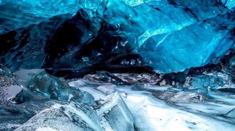
Langjökull is the second-largest ice cap in Iceland, after Vatnajökull. It is located in the western part of the country and covers an area of approximately 953 square kilometers (368 square miles). Langjökull, which means "Long Glacier" in Icelandic, is a popular tourist destination and a significant part of Iceland's glacial landscape.
 |
| Langjökull |
The ice cap is situated at a relatively low elevation compared to some of Iceland's other glaciers, making it more accessible for visitors. Several tour operators offer glacier tours on Langjökull, allowing tourists to explore its icy expanse, ice caves, and other natural wonders. These tours often involve snowmobile rides, ice tunnel explorations, and opportunities to learn about the glacier's unique features and the effects of climate change on Icelandic glaciers.
 |
| Langjökull |
Like many glaciers worldwide, Langjökull has been affected by the warming climate, and its size has been gradually decreasing in recent years. Monitoring and studying glaciers like Langjökull are important for understanding the impacts of climate change on these natural formations and the surrounding environment.
